
File:Map of federal subjects of Russia (2022), disputed Crimea and Donbass.svg

Size of this PNG preview of this SVG file: 512 × 282 pixels. Other resolutions: 320 × 176 pixels | 640 × 353 pixels | 1,024 × 564 pixels | 1,280 × 705 pixels | 2,560 × 1,410 pixels.
Original file (SVG file, nominally 512 × 282 pixels, file size: 827 KB)
,_disputed_Crimea_and_Donbass.svg)

|
The boundaries on this map show the de facto situation. This is just one of several different views on the subject (see COM:NPOV). |
Summary
| Description |
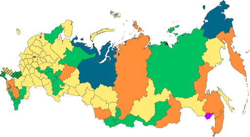
English: Copy of File:Map of federal subjects of Russia (2022).svg with disputed annexed Ukrainian territories indicated with diagonal stripes |
| Date | |
| Source |
This file was derived from: Map of federal subjects of Russia 2014, disputed Crimea.svg |
| Author | Mzajac, Ltbubbas |
.svg)
Licensing
| This map is ineligible for copyright and therefore in the public domain, because it consists entirely of information that is common property and contains no original authorship. For more information, see Commons:Threshold of originality § Maps.
|
File history
Click on a date/time to view the file as it appeared at that time.
| Date/Time | Thumbnail | Dimensions | User | Comment | |
|---|---|---|---|---|---|
| current | 04:13, 20 November 2024 | | 512 × 282 (827 KB) | wikimediacommons>Mellk | Reverted to version as of 11:00, 19 November 2024 (UTC) |
File usage
The following pages on the English Wikipedia link to this file (pages on other projects are not listed):
,_disputed_Crimea_and_Donbass.svg)